Apologies, but the page you requested could not be found. Perhaps searching will help.
Maps & Charts
Where does your next adventure take you? Where will you be working next? Where
being the key word - you need a map. The beginning of everything starts with a plan.
Chaltrek is the largest dealer of topographical and recreational maps in Northwestern
Ontario and boasts a selection of stock most likely the biggest in - well you would need
a map to figure that one out too!
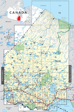
National Topographic System (N.T.S.) maps
The National Topographic System (N.T.S.) maps are available in 1:50,000 and 1:250,000 scales.
These maps are ideal for all recreational and commercial activities and show the following
features:
buildings
cut lines
hills and valleys
lakes and rivers
major and secondary highways
portages and trails
streams and rapids
wooded areas
A 1:50,000 scale map covers approximately 1000 square kilometers while the 1:250,000 scale map
covers the area of land equal to sixteen 1:50,000. Each map is $12.95.
Consult our index to aid in your map selection or call the store where all the knowledgeable
staff will be glad to help you with your choice.
This index indicates the map coverage we stock. All other areas, Canada wide, are
quickly and easily ordered.
back to the topNautical Charts
Chaltrek offers a complete selection of Canadian and American Nautical Charts for $20.00. A paper
copy is required by law to be on board your vessel. Call toll free at 1 888 316 7350 for your free
index.
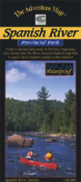
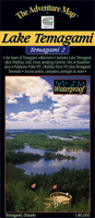
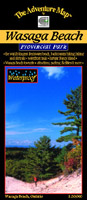
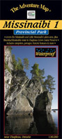
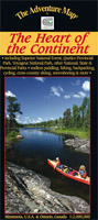
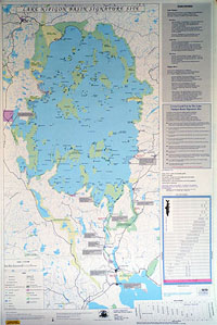
back to the top Adventure Map Series
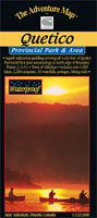
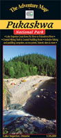
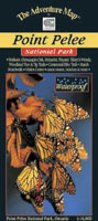
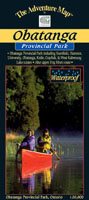
Chrismar Mapping Services is home of the Adventure Map Series. These maps are
specifically designed for outdoor adventurers such as hikers, backpackers and
canoeing enthusiasts who need an accurate, up to date, rugged map to get them into
and safely back from Canada's finest wilderness recreational areas.
The Adventure Map is compact, easy to read, waterproof and loaded with information.
This series contains execeptionally good topographical recreation maps made right
here in Ontario.
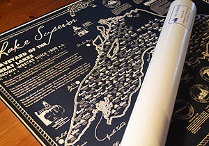
Graveyard of the Great Lakes Shipwreck Maps
These historically accurate Shipwreck Maps of each of the Great Lakes contains
fascinating facts about the lighthouses of the lake along with details of each wreck -
what type of vessel and when it was seen last. They measure 24" x 30" and are
rolled in tubes. $26.00
Lake Superior Map - Third Edition
Beautiful textured paper and suitable for framing. Water depths in varying shades of
blue. Major roadways, towns, landmarks and parks. Includes some shipwrecks.
Map measures 24" x 36" and comes rolled in a tube. $20.00
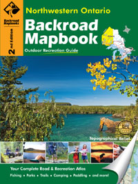
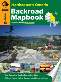
back to the topBackroad Mapbooks
Ontario is a big province and Backroad Mapbooks are well known as the outdoor recreation map source for Ontario, especially up north. They offer maps covering Southwestern Ontario, Cottage Country Ontario maps, Eastern Ontario maps, Northeastern Ontario maps and Northwestern Ontario maps. On top of that, there are many more Mapbooks that cover other provinces. Backroad Mapbooks offer information for fishing, hiking, camping, exploring, canoeing, hunting or pretty well any other outdoor activity in Canada.
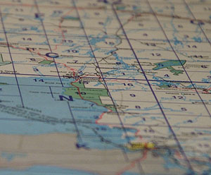
These maps combine city and rural roads with current forestry and logging road maps. A wide variety of trail systems are highlighted, that range from popular hikes to a host of off-road routes. To aid users the trails are marked with symbols designating which type of user can access the trail wherever space allows. Another helpful feature is the fact that ATV, snowmobile trails and long distance trails are highlighted with a background colour to allow for easier navigation. For paddlers, access points, portages as well as the water route itself are indicated. Besides parks, you will find a wide range of other recreational opportunities marked. These range from beaches to wildlife viewing opportunities. For hunters and anglers, Management Units are included. On top of showing soft shadows and highlights to accentuate the changes in the slope of the terrain, the colour changes to match the elevation. These feautures, together with contour lines give a great impression of the landscape and make these maps full blown topographical maps.
Blue numbers represent UTM Grids and the black numbers represent Longitude and Latitude reference points.
Just a few examples:
$25.95
$25.95
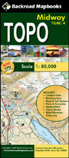
Backroad Mapbooks Topo Maps
$12.95
By blowing up their popular Backroad Mapbook maps by 250%, you will see the world in a different perspective or scale. (Click here to see a sample)
Printed on water resistant paper.
Other features include:
Elevation relief shading
Color road classifications distinguishing paved roads from logging roads
Labeled roads and trails
Trail systems, including defined ATV, snowmobile & long distance trail systems
Wildlife management boundaries for anglers and hunters
Park and backcountry campsites
Paddling routes including access points and portages
How to use
The backroad mapbooks are very user friendly. Simply look up the lake name
of interest in the index. You will see a map number beside the lake name. The
map number will also be the page number in the book. Turn to that page number
and start planning your next adventure.
The backroad topo maps tie in nicely to the mapbook as well. The page number
from the book is also the map number.
For example, to look up: Dog Lake
Index reference is map 15
Dog Lake, map 15 is on page 15
To order, the Dog Lake topo map would be map 15
Chaltrek stores their maps in a flat format, so you can fold your map your way or
even have it laminated.


 next adventure take you? Where will you be working next? Where
being the key word - you need a map. The beginning of everything starts with a plan.
next adventure take you? Where will you be working next? Where
being the key word - you need a map. The beginning of everything starts with a plan.